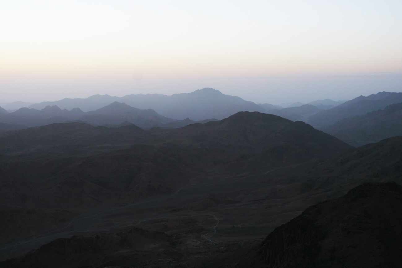
Mount Sinai is one of the most mysterious points on the ancient world map. Its exact location is still a matter of debate. Scientists and historians propose different versions, based on biblical and archaeological data.
Where is Mount Sinai located? This question interests many readers. But, unfortunately, today no one knows the exact location of this mountain.
In the second millennium B.C. there were no geographical maps yet, so historians and archaeologists can only make hypotheses based on indirect data. Today, scientists believe that there are two mountains that correspond to the characteristics of the biblical Mount Sinai.
Thus, in particular, according to the opinion of the Christian historian of the fourth century Eusebius of Caesarea, Mount Sinai is located in the southern mountain range of the Sinai Peninsula. At its feet lies the ancient Christian monastery of Saint Catherine.
Thanks to certain archaeological research and recently discovered facts, it has been suggested that Sinai is a mountain located in the north of the Sinai Peninsula. After studying existing archaeological dictionaries, as well as after consultation with specialists, we received information that today there is no scientific archaeological school that defends the position that Mount Sinai is located in the territory of Saudi Arabia. Despite differences of opinion about the identification of Mount Sinai, archaeologists are unanimous that Mount Sinai is located somewhere on the Sinai Peninsula. And in fact, according to the text of the book of Exodus, chapter 13, we see that the crossing of the Red Sea could only occur through the Gulf of Suez, and not through the Gulf of Aqaba. It is stated there, in particular: "When Pharaoh let the people go, God did not lead them by way of the land of the Philistines, which is near; because God said: It is necessary that the people should not repent when they see war, and that they should not return to Egypt. And God turned the people by way of the wilderness, toward the Red Sea. And the children of Israel went out armed from the land of Egypt" (Exodus.13:17,18).
The text makes clear that the shortest path to the land of Canaan goes through the Isthmus of Suez. At that time, there was no Suez Canal, and therefore between the Mediterranean and the current Gulf of Suez there was a strip of land that was occupied by the Philistines at that time. And that is why God said that, having left Egypt, from the land of Goshen, which was located at the mouth of the Nile, the people should not go toward the east, but turn toward the south. Such a change could only lead toward the Gulf of Suez, which the children of Israel crossed. According to the description given in chapter 14 of the book of Exodus, the people of Israel were on the coast, surrounded on three sides. The descent to the sea was quite long and gentle. Thanks to such a landscape, the pharaoh could mobilize his war chariots in battle formation in the shape of a line one kilometer long, running at full speed. Such a landscape is frequently found on the western coast of the Gulf of Suez.
The crossing of the Red Sea through the Gulf of Aqaba, which bathes the coast of the Sinai Peninsula, is illogical, because the book of Numbers, chapter 13, states that the people of Israel stopped in the wilderness of Paran near Kadesh-Barnea before entering the land of Canaan at its southern borders. The land of Canaan borders Sinai, not the Arabian Peninsula. Thus, Kadesh-Barnea is absolutely definitively located north of the Sinai Peninsula. It cannot be otherwise. Otherwise, the spies would have to pass through the lands of the Moabites and Ammonites, which are located in present-day Jordan, to enter the land of Canaan.
We are told in Numbers 14 that the Israelites went up the mountain and fought against the Canaanites and the Amorites. The events are clearly occurring in the northeast of Sinai along the modern border between Egypt and Israel.
But what about Paul, who speaks about Mount Sinai: "for Hagar means Mount Sinai in Arabia"?
As for Paul, verse 25 of chapter 4 of the Epistle to the Galatians is not intended to determine the location of Mount Sinai. Paul uses a play on words in this verse, the so-called midrash. The name Hagar in the Russian Synodal translation looks like hahar, and can be understood in two ways. That is why Paul speaks of allegory. The word hahar can be represented as two elements: ha – the definite article, har – a name that means "mountain". Thus, the word Hagar can be translated as "this mountain," which in Jewish tradition is, of course, Sinai.
On the other hand, we know that Hagar was the mother of the Arabs. And, therefore, in chapter 4 of the Epistle to the Galatians, Paul is not speaking about geography, but about the spiritual problems of the Galatians who, in trying to reach God through conversion to Judaism, could find themselves in the position of the descendants of Ishmael.
Alexander Bolotnikov,
Director of the Research Center "Shalom",
Doctor of Theology
Tags: Sinai, Mount Sinai, Sinai Peninsula